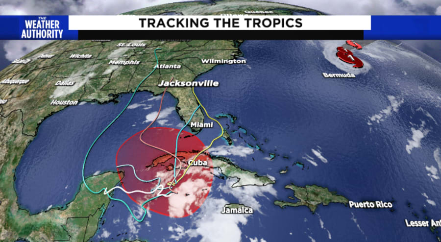
JACKSONVILLE, Fla. – Tropical Storm Iota formed Friday afternoon in the Caribbean and is expected to strengthen into a hurricane as it approaches Central America.
The National Hurricane Center in Miami said Iota could bring dangerous wind, storm surge and rainfall to Nicaragua and Honduras by Sunday night, wreaking havoc in a region where people are still grappling with more than 120 deaths and many more missing in the aftermath of Eta.
Recommended Videos
Iota is a record-setting 30th named storm of this year’s extraordinarily busy Atlantic hurricane season. Such activity has focused attention on climate change, which scientists say is causing wetter, stronger and more destructive storms.
At 4 p.m., the NHC said the center of Iota was 335 miles south-southeast of Kingston, Jamaica. It had 40 mph sustained winds and was moving west-southwest at 3 mph. A westward to west-northwestward motion at a slightly faster forward speed is expected to begin by late Saturday and continue through Monday.
On the forecast track, Iota will move across the central Caribbean Sea during the next day or so, and approach the coasts of Nicaragua and northeastern Honduras potentially as a Category 3 hurricane on Monday.
Earlier Friday, the system was designated Tropical Depression 28.

The spaghetti models for this system vary widely in what direction the storm will head. What the forecast models do generally agree on is that this system will be on the weaker side. Also, the system will not make much forward motion over the next day or so.
The forecast models should come to a better agreement now that the system has actually formed and as it starts moving forward.


