JACKSONVILLE, Fla. – Our Weather Authority Alert Day began about 11 a.m. and ended just after 1 p.m. when the Storm Prediction Center ended the tornado watch.
This is a developing situation, check back throughout the afternoon/evening for updates.
Recommended Videos

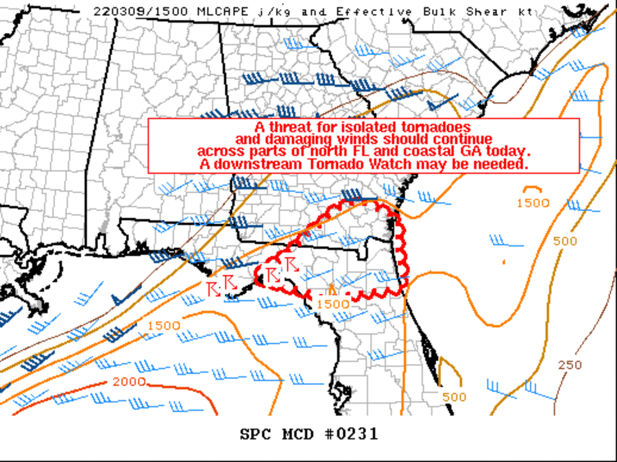
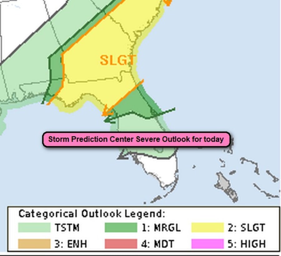
According to the National Weather Service Storm Prediction Center, the severe weather threat for Tornado Watch 40 continues. A threat for isolated tornadoes and damaging winds should continue across parts of north Florida and coastal Georgia today. A downstream Tornado Watch may be needed.
Within a band of storms ongoing over the northern Gulf and central Florida Panhandle, a persistent supercell has been noted on the radar. This storm has shown signs of low-level rotation over the past couple of hours as it has moved generally eastward across the Panhandle. The airmass downstream of this convection appears sufficiently unstable to support surface-based storms, with MLCAPE generally around 1000-1500 J/kg.
Deep-layer shear of 30-35 kt should also be marginally sufficient for a mix of supercells and line segments. Modestly enhanced low-level southwesterly flow is forecast to gradually diminish through the day.
But, there may still be enough low-level shear to support updraft rotation and a threat for isolated tornadoes.
The overall magnitude of the severe threat is somewhat uncertain with eastward extent across the remainder of North Florida and coastal Southeastern Georgia today owing to the limited low-level shear.
Regardless, another Tornado Watch will need to be considered for this region given observational and short-term model.
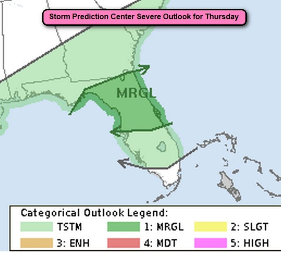
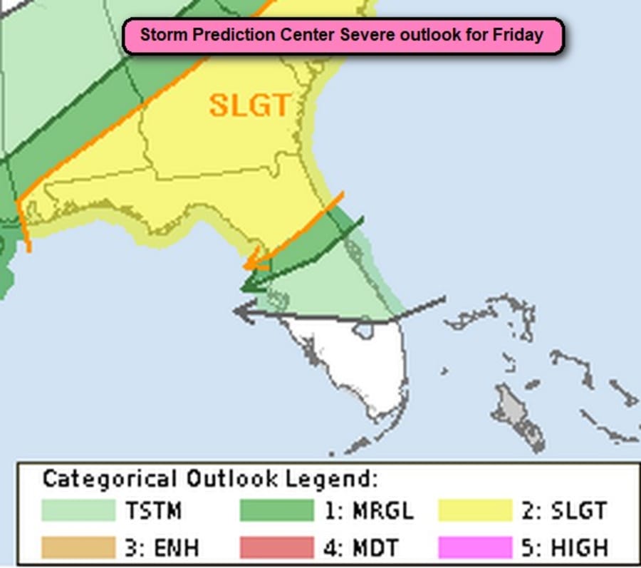
BUT WAIT! There will be more issues!


