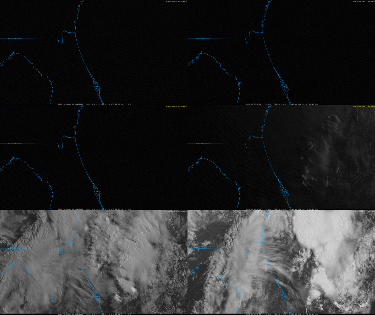
ST. JOHNS COUNTY, Fla. – The weather this past weekend was anything but boring! We had dense morning fog, sunshine and gorgeous beach weather, and severe storms causing golf ball size hail and intense lightning.
This Weekend:
Recommended Videos
Despite the dry Saturday and first half of Sunday, storms quickly blew up Sunday afternoon really packing the punch.
The storms first developed over NE FL producing heavy rainfall dropping anything from 2 inches to 5 inches over the course of the afternoon depending on location.
Hail quickly became a concern, especially in St. Johns County where SnapJAX reports showed hail around golf ball size. This can definitely leave some unwanted dents.
VOLUME UP 🔈 Another video of the hail really coming down in the Rivertown are of St. John’s County 😱 @wjxt4
— Danielle Uliano (@DanielleUliano) April 17, 2022
📹: News4JAX Insider (sir_hobo) pic.twitter.com/ABXagnidjQ
Later in the evening, the storms spread across Southeast Georgia, once again packing the punch with rainfall totals of 4+ inches over the Okefenokee Swamp. The storms were also packed with lightning and produced small hail.
After sunset, our severe storms transitioned into widespread moderate rains that last through the evening across Southeast Georgia and Northeast Florida.

What’s Next?
Today we’re waiting for our next cold front to sink south.
This front has left us with partly sunny skies today coupled with a touch of humidity and a chance for scattered showers to develop along the front later in the afternoon.
The front will pass Monday night.

This will leave us sunny, windy, and below average in the mid-70s Tuesday. The good news is we’ll stay seasonal, mostly sunny and dry for the rest of the workweek.
Don’t forget to check out Meteorologist Richard Nunn’s forecast!


