The First Coast has a rich cultural history dating back six thousand years providing a multitude of local archeological sites. They range from Timucua native communities to early European settlers and on to colonial slave plantations.
The deep cultural heritage that makes our area unique is at risk of disappearing from climate change threats.
Recommended Videos
The clock is ticking to preserve and document the relics of the past before history is erased from development and sea level rise.
One very obvious example of this threat is the erosion of well built by the Minorcans in the early 1800′s at the Guana Tolomato Matanzas National Estuarine Research Reserve or GTM Reserve for short.
Originally the site was located over 100 feet inland, but the shoreline has been eroding quickly at about 19 inches a year. Boat wakes have chiseled away at the bluff then came Hurricanes Matthew and Irma that stripped the surrounding ground leaving the coquina blocks precariously exposed. Now the well-known archeological site is off-limits since visitors are at risk of falling from the bluff into an oyster bed.
Should the structure be moved or let nature take over? What resources should be allocated to modeling a replica before a piece of history disappears? The dilemma was discussed at a workshop organized by The Florida Public Archaeology Network at the GTM Reserve. Participants learned about risks to heritage sites and efforts to document, monitor and preserve them.

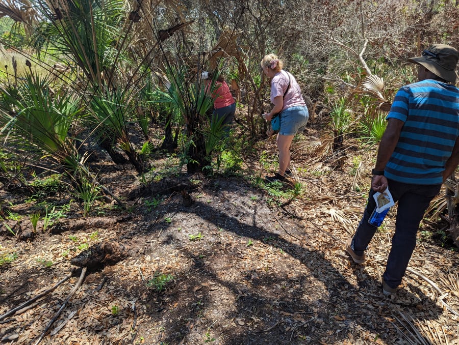
There are so many archeological sites on the property. Controlled burns unearth Indian oyster shell middens and artifacts like broken pottery can be revealed along the edge of the receding marsh. Knowing the location of these historic resources is helpful for designing preservation priorities.
A quick rescue is not needed everywhere. Some sedimentation in marshes can help the grasses keep up with rising water levels helping to build elevation. Continued monitoring lays the framework for establishing critical protection zones.
There are programs you can join to help in the research. Heritage Monitoring Scouts (HMS Florida) is a public engagement program focused on tracking changes to archaeological sites at risk, particularly those impacted by climate change in the form of erosion and sea level rise.


