JACKSONVILLE, Fla. – It was Florida’s turn for strong and severe storms on Friday after Georgia got the bulk of Thursday’s tornadic activity.
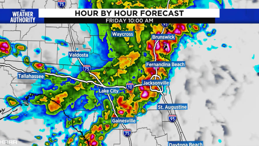
As storms came through the area Friday morning, there were reports of wind gusts up to 70 mph which knocked down power lines, flipped a tractor-trailer on the Dames Point Bridge and downed trees.
Storms targeted the I-75 area of north Florida and southern Georgia with severe weather early this morning. By 9 a.m. the storms were over Jacksonville.
Tornado likelihood was lower on Friday because the storms did not arrive in the record 96-degree heat that we had Thursday in Jacksonville.
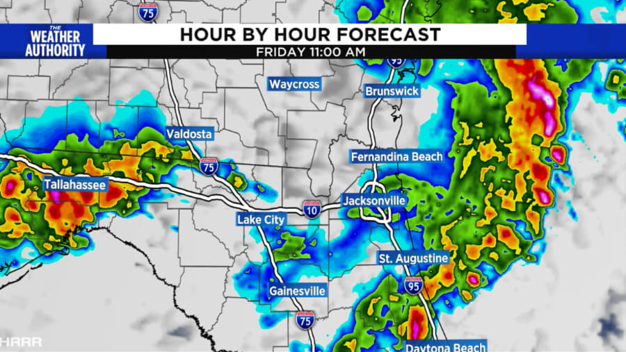
A Severe Thunderstorm Watch for Clay, Duval, Flagler, Marion, Nassau, Putnam and St. Johns counties in Florida, and Camden and Glynn counties in Georgia was set to end at 12 p.m. However, the watch was canceled shortly after 10 a.m.

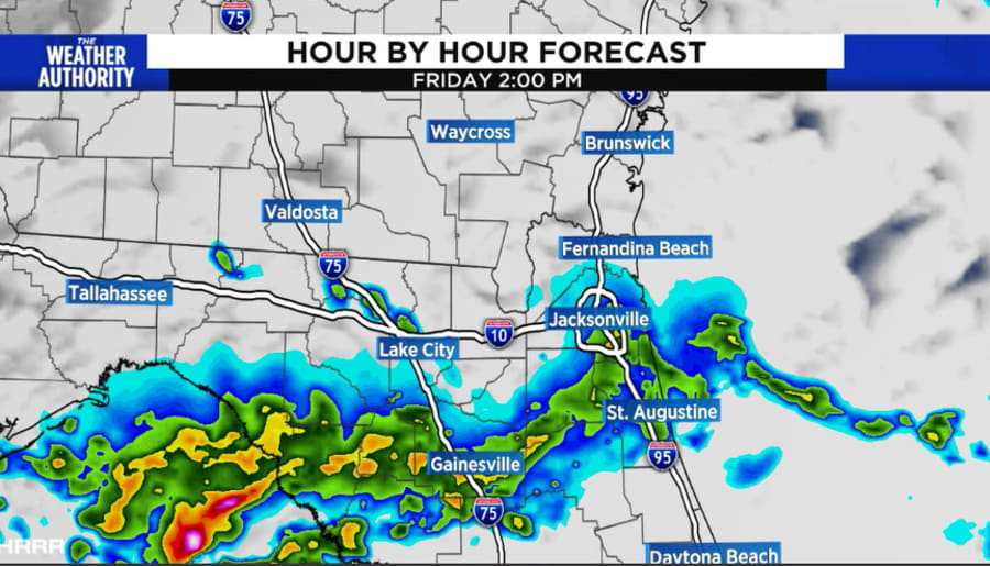
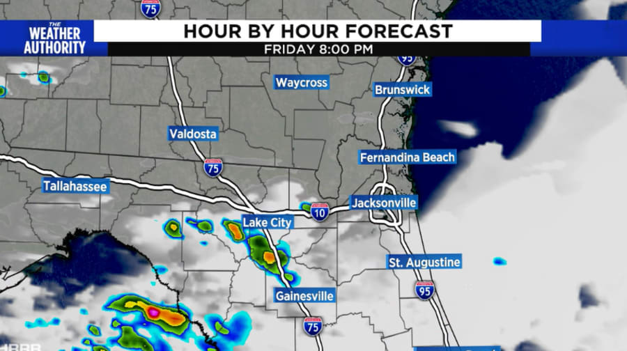
By noon severe weather risk was over but scattered showers will remain through the afternoon until we completely dry out early this evening. Some pockets of rain will still be possible when school buses return this afternoon.


