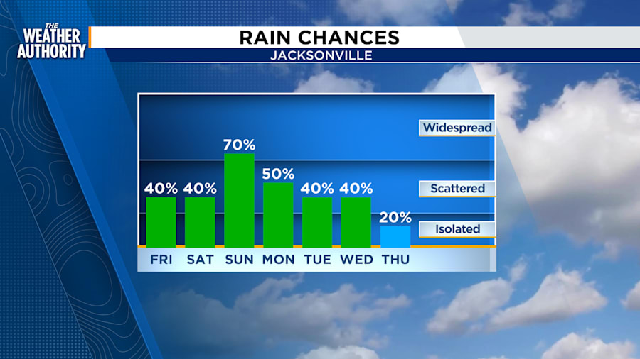
Our daily storm coverage will back off a bit tomorrow and Saturday before ramping up again with numerous storms on Sunday.
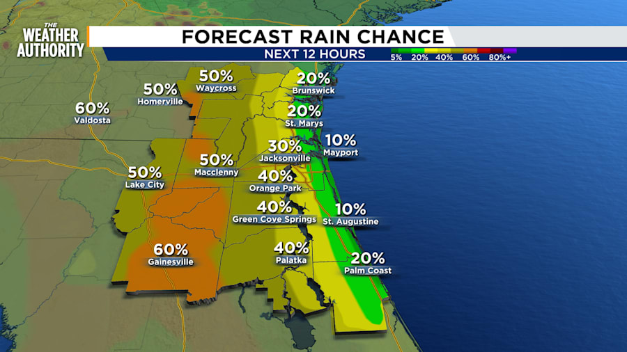
Southeasterly winds Friday afternoon will concentrate showers inland mostly west of highway 301 and toward I-75. The day will be a couple degrees warmer reaching 95.

A cool front will approach the area from the north over the weekend and while it won’t break the warming temps back into the mid 90s, it will foster increasing rain potential Sunday into early next week by boosting the moisture/humidity levels.


