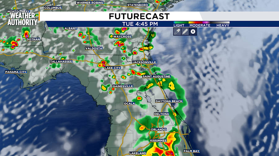
It will be another hot day on Tuesday with temperatures in the mid-90s area wide which will fire up numerous heavy storms this afternoon and evening.
A Severe Thunderstorm Warning was issued until 3 p.m. for east-central Duval County. The storm system packed 60 mph wind gusts and possible penny-sized hail.
The sticky air marked by dew points in the mid to upper 70s near the coast has put the area under a heat advisory east of I-95 from 12 p.m. to 7 p.m. Apparent temps will reach the 105-110 degree range there.
Storms will fade after sunset with lows in the mid to upper 70s.
Above-normal heat will continue until the weekend with afternoon storms every day.