

JACKSONVILLE, Fla. – As of the 8 a.m. National Hurricane Center update, hurricane hunters found that Tropical Storm Debby is still gaining strength as it turns northward toward the Florida panhandle and will continue to move northeast at 13 mph through Sunday.
Tropical Storm Debby is currently off the coast of Ft. Myers, Florida and moving to the NNW at 13 mph. The storm is forecast to become a Category 1 hurricane early Monday morning before reaching the Big Bend of Florida.
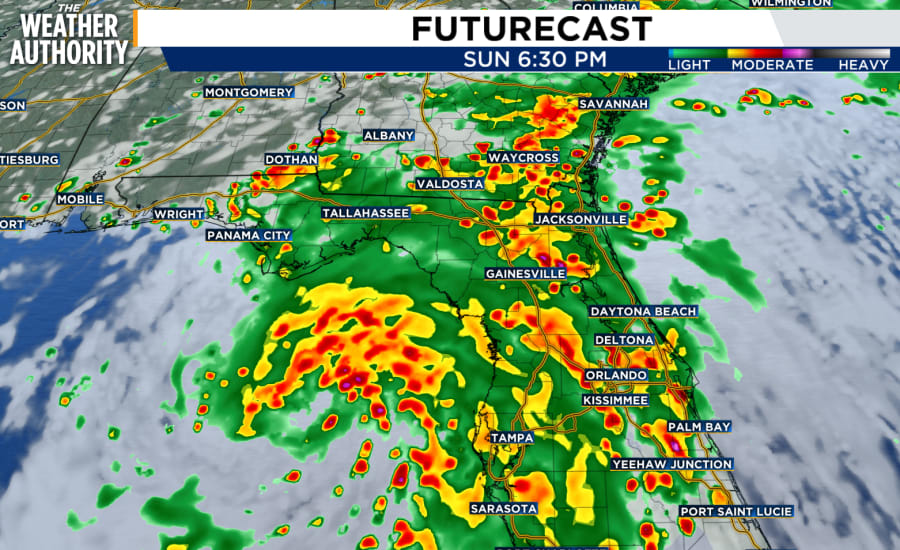
Max winds are 60 mph with higher gusts; rainfall amounts could be 6-12 inches, with maximum amounts of 18 inches through Friday morning. The storm is expected to strengthen Sunday and into Monday.
RELATED | County-by-county: Northeast Florida increasing preparation efforts ahead of potential tropical storm | Gov. DeSantis puts vast majority of Florida counties under ‘state of emergency’ ahead of possible tropical depression
If the current path holds, the biggest impact for Northeast Florida and Southeast Georgia will be Monday and Tuesday morning.
A Tropical Storm Watch is in effect for Alachua, Bradford, Baker, Columbia and Union counties of Northeast Florida, as well as all counties of Southeast Georgia. Most of our area is also under a Flood Watch beginning at 1 p.m.. St. Johns, Flagler, Putnam and Clay are currently not being placed under the Flood Watch.
MORE | Gov. DeSantis activates Florida State Guard, urges residents to prepare ahead of expected tropical storm | St. Johns County prepares for potential tropical cyclone heads toward Florida
The main hazards will be bands of showers, thunderstorms, and windy conditions with gusts up to 40-50 mph. An isolated tornado is certainly possible given the conditions.
READ | Watches? Warnings? What do all the tropical alerts really mean?
Watches and Warnings in effect:
Hurricane Warning: In effect for the Florida Gulf Coast from the Suwannee River to the Ochlockonee River
Hurricane Watch: In effect for Florida coast west of the Ochlockonee River to Indian Pass and Florida coast east of the Suwannee River to Yankeetown
Tropical Storm Warning: In effect for The Dry Tortugas and west coast of the Florida peninsula from south of Yankeetown to East Cape Sable
Tropical Storm Watch: Alachua, Bradford, Baker, Columbia, Marion and Union counties of Northeast Florida, as well as all counties of Southeast Georgia
Storm Surge Watch: In effect for Bonita Beach northward to the Aucilla River, including Tampa Bay and Charlotte Harbor and west of the Aucilla River to Indian Pass
Storm Surge Warning: In effect for Florida coast from Aripeka northward to Indian Pass
