

JACKSONVILLE, Fla. – Two disturbances continue to have an increased chance of developing into storms.
One disturbance in the Central Tropical Atlantic, currently identified as “AL94″ is an area of low pressure located over the central tropical Atlantic that is producing disorganized showers and thunderstorms. The system will continue to move toward the west with slow but consistent development. The disturbance could form into a depression.
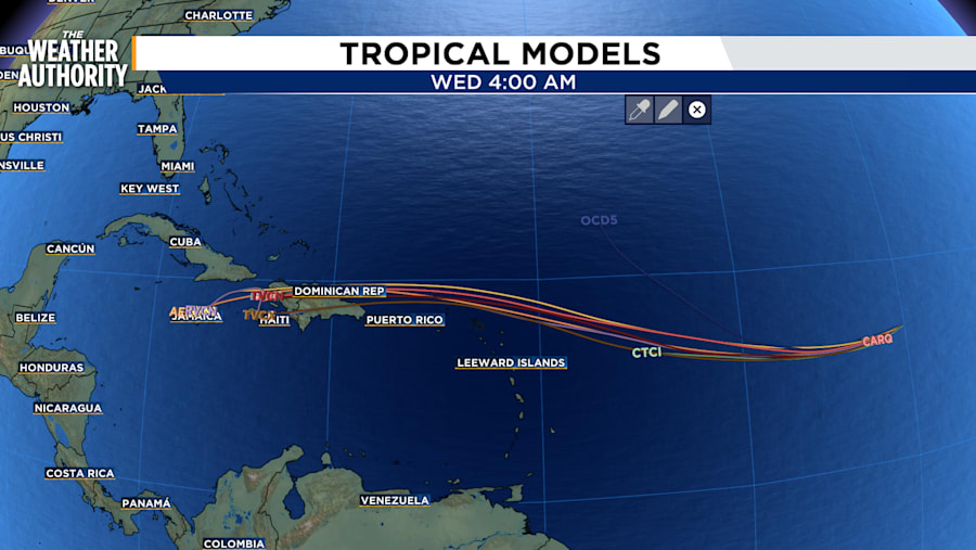
Formation chance through 48 hours: 30 %
Formation chance through 7 days: 50%
The second disturbance is in the Western Caribbean Sea. A broad area of low pressure could develop over the southwestern Caribbean Sea by mid-week. Thunderstorm and storms are associated with the system. It will likely move toward Central America based on current models into the weekend. Regardless of development, locally heavy rainfall is possible across portions of Central America.
Formation chance through 48 hours: 10%
Formation chance through 7 days: 20%


