
WEEKEND FORECAST:
This time of year high temperatures are in the upper 70s and low 80s with low temperatures in the mid to low 60s. We’re right on target with cooler temperatures for the next week.
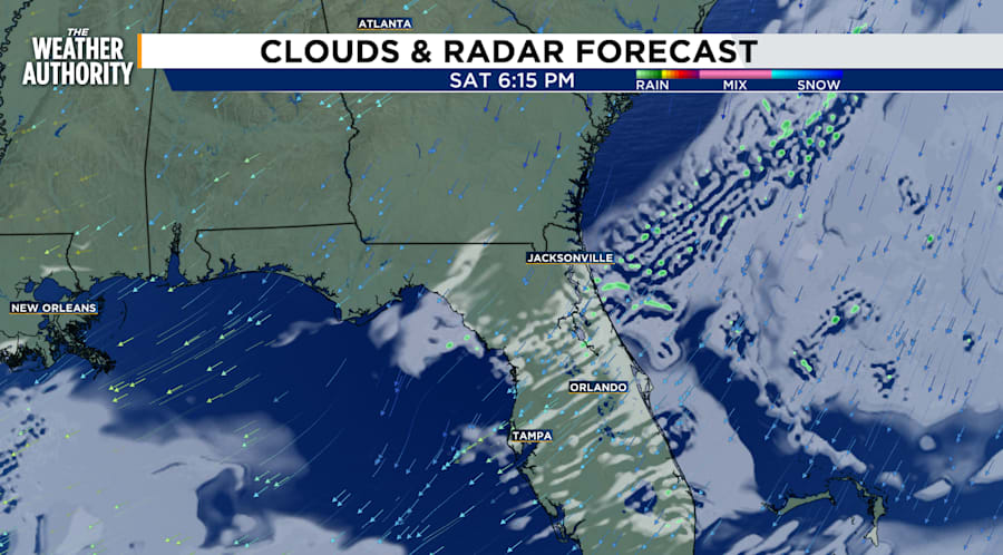
Saturday evening low 60s, breezy winds in the teens, gusts in the 20s with partly cloudy skies. No rain is in the forecast for most counties. However, there is a low chances for rain for Saint Johns, Putnam and Flagler counties Saturday and Sunday. Though it will feel chilly to the skin humidity will bring some comfort.
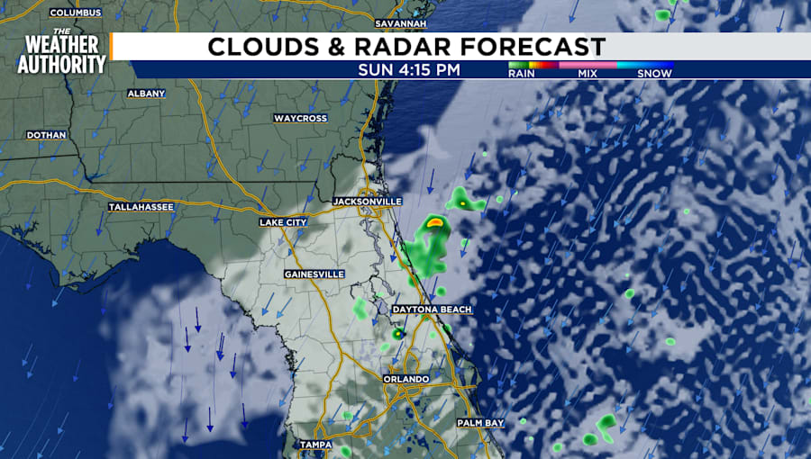
Sunday morning temperatures will be in the upper 50s to low 60s with partly cloudy skies as temperatures peak into the mid-70s. Winds will be breezy again Sunday afternoon but will slow down from the teens into the single digits near sunset. Winds will persist from the northeast through Wednesday.
COASTAL FLOODING CONCERNS
Florida rivers still have a flood warning.
LOCATION:
St Johns River Near Deland affecting Volusia and Lake Counties. The river level at Deland remains in Major Flood Stage, forecast to remain steady around 5.5 feet through the weekend. It is then expected to fall to around 5.4 feet early next week and remain steady.
IMPACTS At 5.3 feet, Major flooding occurs to many structures and marinas along the river and in the Hontoon Island area. The river is expected to remain steady around 5.5 feet through the weekend and then fall to 5.4 feet into early next week. - Flood stage is 4.0 feet.
COASTAL HAZARD - Coastal Flood Advisory is in effect until
Until Monday 6 AM
Inland St. Johns and Eastern Clay Counties
FLOODING CHANCE DURING HIGH TIDE
Trout River and South Central Duval Counties.
Until Monday 6 AM
COASTAL FLOOD WARNING
Inland Flagler, Eastern Putnam
Until Monday 6 AM
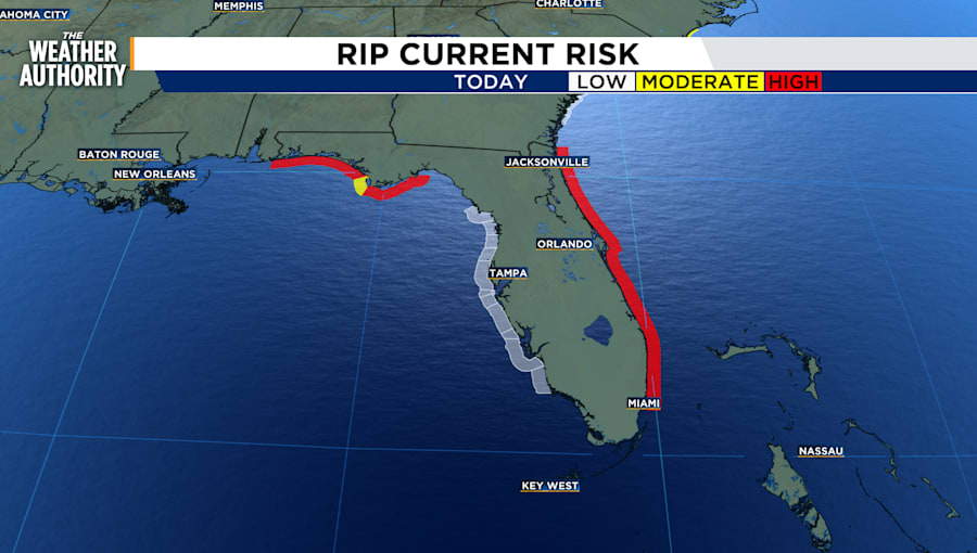
RIP CURRENT RISK:
Remains high throughout the weekend. Please stay out of the ocean to prevent exposure to deadly currents. A high rip current risk is likely at least through Wednesday.
TRACKING THE TROPICS
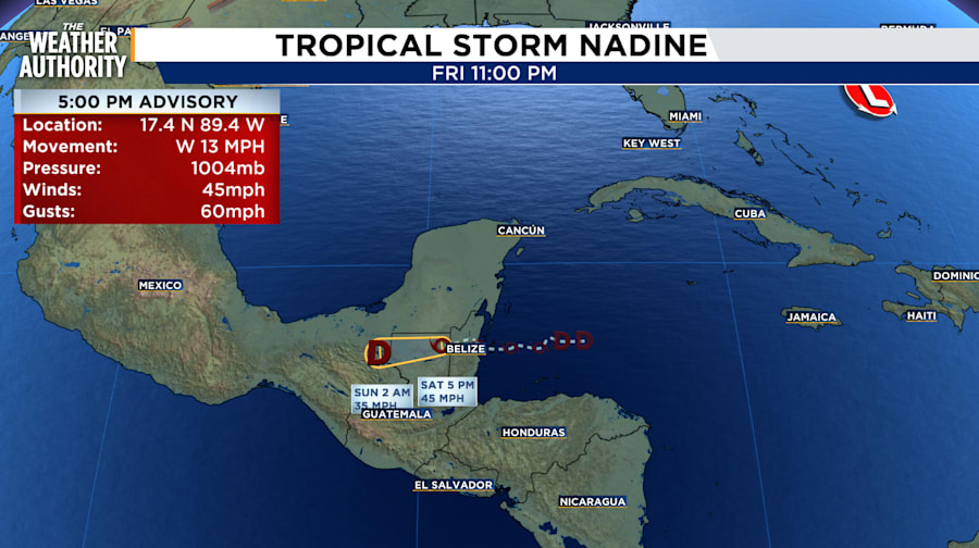
TROPICAL STORM NADINE
Tropical Storm Nadine is moving toward the west near 13 mph (20 km/h). The storm is expected to move across northern Guatemala and southern Mexico through early Sunday.
Maximum sustained winds are near 45 mph (75 km/h) with higher gusts. However, it is expected to weaken.
RAINFALL: Widespread rainfall amounts of 4 to 8 inches, with isolated areas of 12 inches, are expected across northern Belize, northern Guatemala, and southern Mexican states from Quintana Roo westward to Veracruz and Oaxaca through Tuesday.
WIND: Tropical storm conditions are expected to continue within the warning area during the next several hours.
STORM SURGE: Minor coastal flooding is possible in areas of onshore winds for a few more hours.
HURRICANE OSCAR
Hurricane Oscar was located near latitude 21.4 North, longitude 71.1 West. Oscar is moving toward the west near 10 mph (17 km/h but is expected to make a sharp turn to the northeast is anticipated by Monday. Dropsonde wind data indicate that maximum sustained winds have increased to near 85 mph (140 km/h) with higher gusts.
WIND: Hurricane conditions are expected to first reach the coast within the warning area tonight, with tropical storm conditions expected to begin shortly, making outside preparations dangerous. Hurricane conditions are possible in the watch area of Cuba by Sunday night.
Tropical storm conditions are expected to first reach the coast within the warning area by Sunday afternoon, making outside preparations difficult or dangerous. Tropical storm conditions are possible in the watch area by Sunday night.
RAINFALL: Through Tuesday, rainfall amounts of 4 to 6 inches with isolated amounts of 8 inches are expected across eastern Cuba. Across the Turks and Caicos and southeastern Bahamas, 2 to 4 inches are expected, with isolated amounts around 6 inches.
STORM SURGE: A dangerous storm surge is expected to produce significant coastal flooding in the Turks and Caicos Islands, where water levels are expected to be between 2 and 4 feet. Near the coast, the surge will be accompanied by large and destructive waves. Minor coastal flooding is possible along the north shore of Cuba.
