
Low chances for rain are developing for most of the next seven days.
MODERATE RIP CURRENT RISK
Rip current risk remains moderate. It’s best to remain out of the ocean until conditions improve.
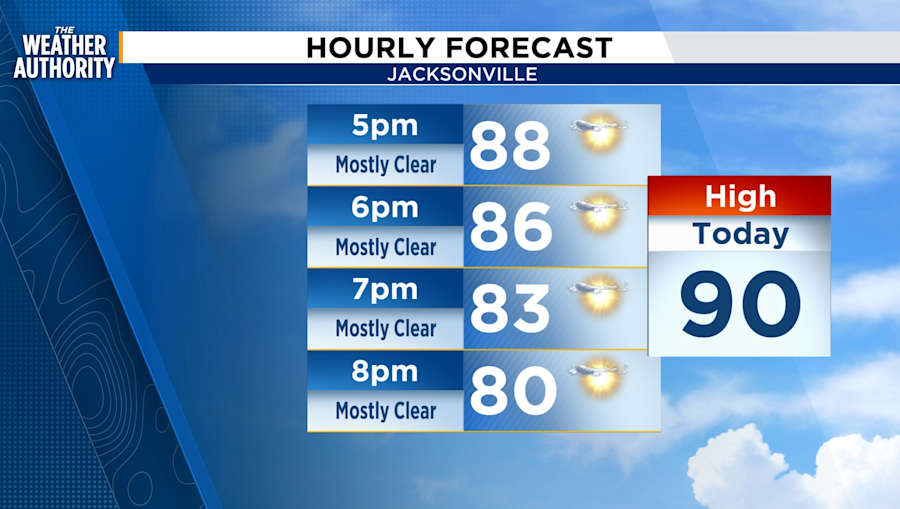
SATURDAY FORECAST
Skies will remain mostly clear with mild temperatures into the evening.
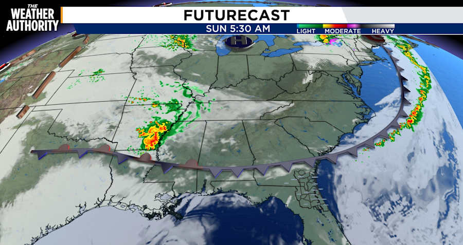
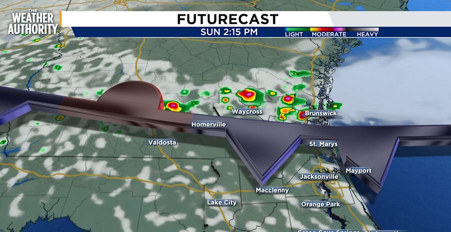
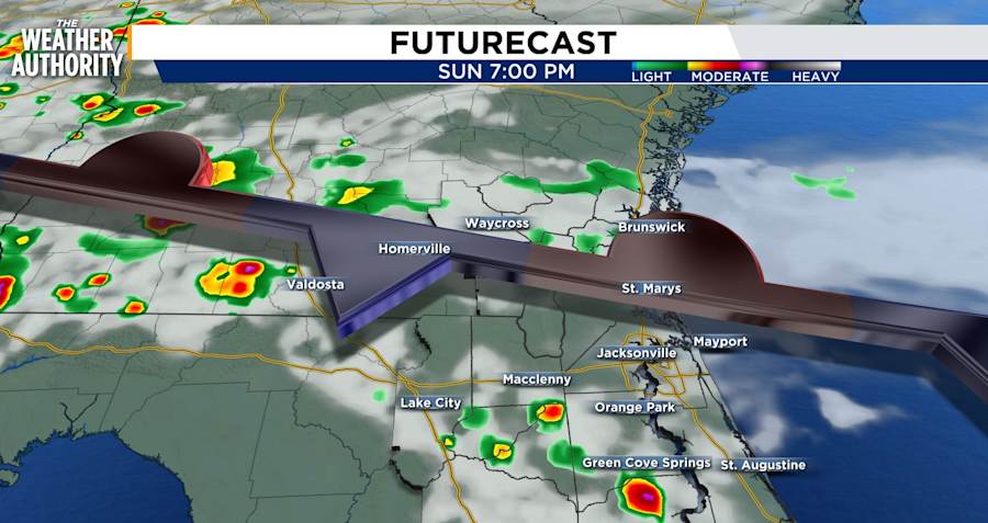
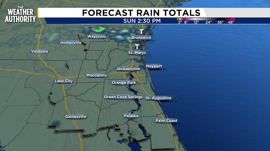
SUNDAY FULL FORECAST
Temperatures begin in the mid-60s with parallel dew points. Light winds will continue to come from the south with high humidity. Rain chances in the early morning hours will range from 10 to 20 percent. Temperatures will peak in the upper 80s and low 90s, with winds shifting to the northeast and north. Winds will become breezy in the teens from 4 to 9 pm. Humidity will drop, and then the clouds will develop ranging from partly to mostly cloudy skies. Rain is expected shortly after temperatures peak from 4 to 7 PM. Rain ends after sunset.

LOOKING AHEAD
Rain chances will remain between 20 and 40 percent for the week as a cold front approaches before shifting to a stationary front. 20 percent chance on Sunday and a 40 percent chance on Monday. Chances are less likely Tuesday through Thursday and little to no CAPE. Dew points remain 50 to 60 percent this week. Instability could return at the end of the week to contribute to light to moderate rain.


