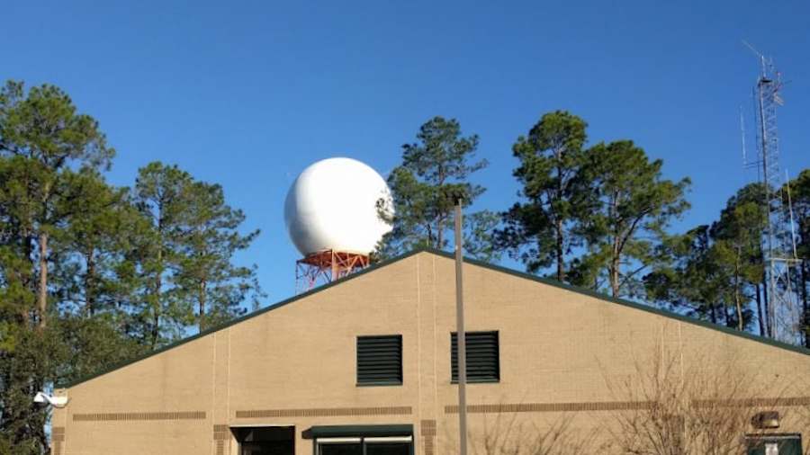
JACKSONVILLE, Fla. – Tracking storms is more challenging after lightning damaged the National Weather Service's radar at Jacksonville International Airport.
It happened in a severe thunderstorm Saturday evening that caused excessive lightning in north and west Duval County.
Recommended Videos
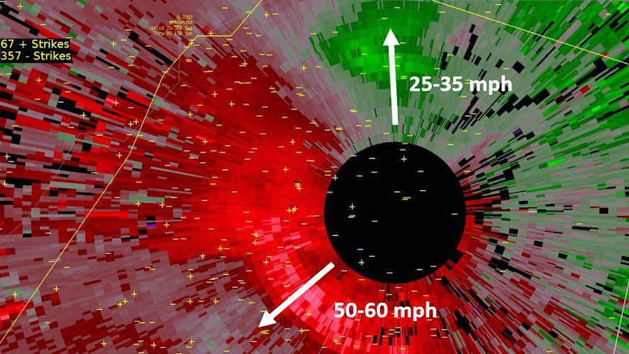
Lightning struck the WSR-88D NEXRAD site around 7:43 p.m. in the mist of a microburst.

High winds in the storm gusted to 51 mph, setting a new record that broke the 45 mph standing record from 2014.
The storm's timing disrupted the routine 8 p.m. weather balloon launch which is used to feed weather conditions into forecast models.
Daily downpours are in the forecast and tracking storms is more challenging without a local radar in northeast Florida.
Another NEXRAD radar at Moody Air Force Base east of Valdosta, Georgia, is making up for the gap in radar coverage around the greater Jacksonville area.
Because Moody's radar is so far away, it only sees rain around 7,500 feet and higher over Jacksonville due to the curvature of the earth.
Forecasters at Jacksonville's NWS office say GOES 16 satellite data is helpful for tracking thunderstorm clouds and pinpointing sea breeze boundaries.
Technicians have started the repair process but a timeline when the radar becomes operational is not known.


